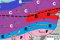
Another Mild Period (Feb 20-24)
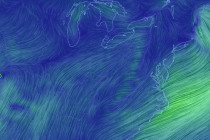
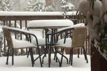
More mild weather is on the way and possibly even some natural fireworks for the weekend. Let’s break it down… Disco: Northerly flow, currently associated with the front-side of weak approaching high pressure, has chilled the region down. This should