


Colder

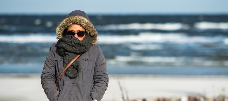
Discussion: How did everyone make out with today’s rain and snow mixed-in at times? Willing to bet the peak NWNJ elevations saw the snowiest outcome of the state while most of NJ saw little-to-no accumulation due to above-freezing surface temps. We’re now inside a positive-tilted trough and colder air is spilling into the region via NW flow. We’ll be breezy out of the NW at the surface because of this. The jet has pushed offshore and the trough will now handoff to the front-side NW flow of the ridge. This is going to keep it colder through about Tuesday. Then the ridge establishes/advances E and brings milder temps to NJ by the start of the weekend…highs back in the 60s. The very strange super nino continues to surprise with wild active events. We had the September Nor’easter, the October gale, and now the November tornado/NWNJ snow incident. Feels wilder than when we went into winter of 2009-2010 honestly. The atmosphere feels primed for possibly a historic winter IMO. No evidence to back this other than decades of feel experience.
Forecast
Friday (Nov 13) night overnight temperatures should fall to the low-to-mid 30s for most NJ locations. Coastal areas could hang in the lower-40s to near-40. Some remnant showers around with light NW winds.
Saturday (Nov 14) high temperatures should reach the mid-to-upper 40s, possibly the first day of the colder season where highs do not break 50. Skies should be mixed with more clouds than sun and a few isolated showers around, mainly for NNJ. Winds should be breezy out of the NW making for an even colder-feeling day. Overnight lows should range from 35-45 NNJ to SNJ. A few sprinkles possible overnight.
Sunday (Nov 15) high temperatures should reach near-50 for most NJ locations. Skies should be mixed with more sun than clouds. Winds should be light-to-breezy out of the NW. Overnight lows should range from 35-45 from NNJ elevations to SNJ coasts.
An early look at next week (Nov 16-20) indicates a gradual build of highs from 40s to start the week, 50s mid-week, and ultimately 60s heading into the weekend. Lots of sun but cold/chilly nights. Have a great weekend and please be safe! JC
Premium Services
KABOOM Club offers an ad-free environment, inside info (Above and Beyond) forecast discussion, your questions prioritized, and early storm impact maps and video releases (ahead of the public). At $1.99 per month, it’s an extremely feasible way to show additional support for Weather NJ and you can turn it on and off for however many months you wish. Think of it as a tip jar with perks. Available onFacebook or Patreon.
My Pocket Meteorologist (MPM), in partnership with EPAWA Weather Consulting, offers professional/commercial interests, whose businesses depend on outdoor weather conditions (snow plowing, landscaping, construction, etc.), with hyper-local text message alerts/forecasts from real meteorologists and access to the MPM premium forum—the most comprehensive and technical forecast discussion available for PA and NJ commercial interests.
KABOOM Shop is live if you want some KABOOM or Weather NJ Merch!

Jonathan Carr (JC) is the founder and sole operator of Weather NJ, New Jersey’s largest independent weather reporting agency. Since 2010, Jonathan has provided weather safety discussion and forecasting services for New Jersey and surrounding areas through the web and social media. Originally branded as Severe NJ Weather (before 2014), Weather NJ is proud to bring you accurate and responsible forecast discussion ahead of high-stakes weather scenarios that impact this great garden state of ours. All Weather. All New Jersey.™ Be safe! JC



LOCAL FORECAST | INTERACTIVE RADAR | LATEST NJ WEATHER ALERTS | WEDDING FORECAST| PRIVACY POLICY
© Copyright 2026 Weather NJ LLC. All Rights Reserved.
Some information that can be found on our website is provided by a private weather station and is not an officially recognized station for weather reporting. Though we always strive to achieve accurate reporting for our own use, it is important that you do NOT depend on the data provided here for any purpose.

