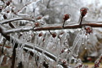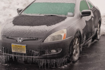
Feb 13: Ice Storm Detected
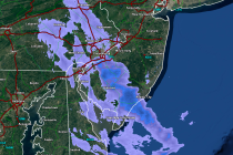
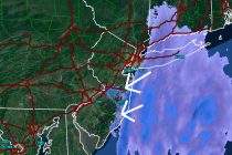
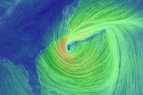
Model guidance is starting to converge on a solution for Monday into Tuesday. Here are my current thoughts. Tomorrow night’s map will have snow accumulations and ice estimations. Such values are currently too uncertain for me to estimate: The darkest