Here’s Why You Should Use My Pocket Meteorologist
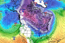
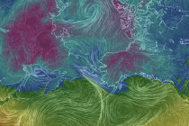
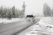
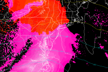
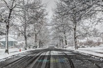
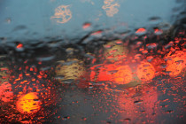
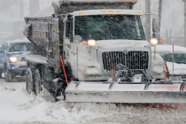
The winter 2016-2017 season is here. My Pocket Meteorologist makes a great holiday gift for that weather nerd in your life. Just saying 8) Seriously though, find out why thousands have signed up… Eastern PA Weather Authority (EPAWA) has teamed