Oct 9: Rain to clear from W to E
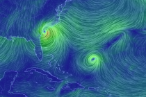
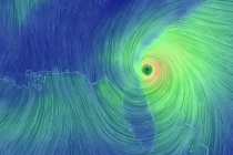
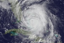
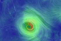
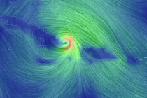
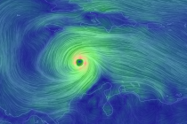
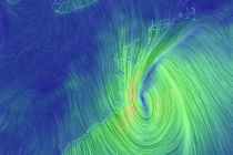
Matthew is now extra-tropical and moving away from the US East Coast well to our S. The cold front is pushing through from the W which has enhanced rainfall for the Mid-Atlantic. North Carolina and Virginia have seen some pretty