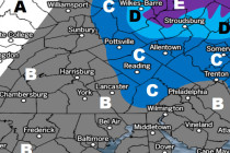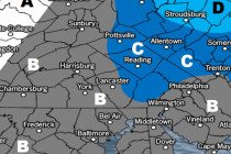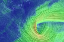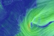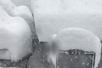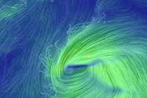
March 17: Snow Storm Update
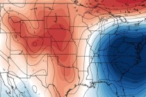
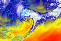
Discussion: The models are still all over the place with regard to surface output. The upper-levels are starting to make a little more sense however. It looks like we’ll see a brief +PNA spike fed by an Alaskan upper-level low