Rainstorm Approaching with Gusty Winds to Follow
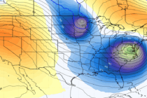
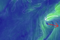
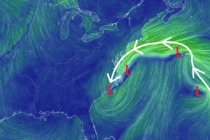
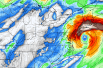
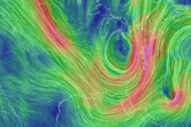
Discussion: The E US trough formation is well underway. Luckily, Melissa will not be captured by it or else the east coast might have seen another Sandy-like scenario. If you’ve been following along, especially in Weather NJ premium areas, I