I’ve Seen Better Weekends (July 28-30)
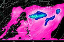
Here’s what to expect this weekend… Discussion: Not much has changed since yesterday’s article analysis. We still have an upper level low moving through the Mid-Atlantic US over the next 72 hours. We also however have an upper level low moving