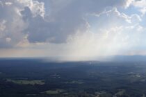
Weekend Outlook – Solid Improvement
Discussion: The upper levels continue to indicate a zonal flow across the US this weekend into next week. This translates to more of a W/NW to W/SW wind direction at the surface which you’ll see in the days broken down