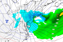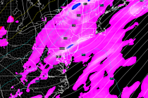
April 9: Saturday Morning Observations
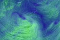
Precipitation, associated with the low pressure system currently heading out to sea, has moved into the area. You can see the low pressure center over NJ on the above Earth Map image. That will continue heading east while leaving an elongated