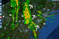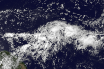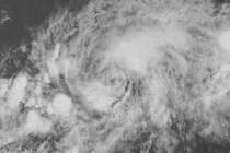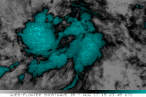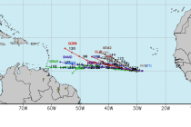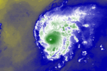
Aug 21: Hurricane Danny Update
Hurricane Danny has intensified. He has been able to stay just south of inhibitive factors such as dry Saharan air/dust, and wind shear. He could possibly intensify further but eventually, he’s going to have to cross a strong wind shear