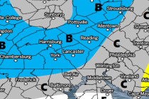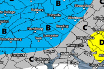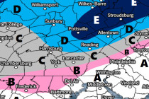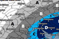
Dec 31: Cold New Years + Jan 4 Winter Storm Thoughts
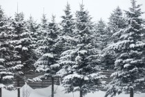
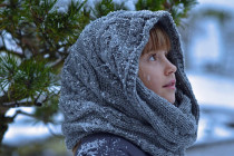
Discussion: We’re very cold today through Tuesday as Arctic air reigns dominant. This poses a serious risk of hypothermic medical issues for those braving it outside for either the ball drop or any other outdoor activity surrounding New Years. If you