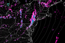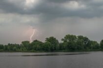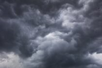
Unsettled Pattern Continues
Discussion: Yesterday was a rough one along and NW of I-95. Areas SE of such saw little-to-nothing. This was mainly due to the best atmospheric dynamics occurring away from the ocean and for points N. SNJ/SENJ also saw a lot