Wet Start Expected (Aug 7-11)
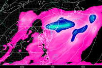
This week should start wet and stormy but conditions then improve… Discussion: At the upper-levels we have below-average to average heights to start this week, thanks to a series of upper-level troughs swinging through the region. Heights will then build mid-week