Mild Weather Expected (Nov 3-5)
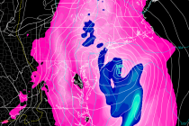
Discussion: The upper levels look to feature above-average height anomalies. This tells me the overall temperature profile should remain on the milder side for this time of year. Aside from an isolated Friday afternoon shower and raw/damp/misty conditions Sunday, the