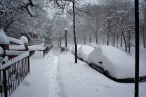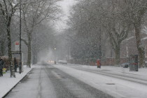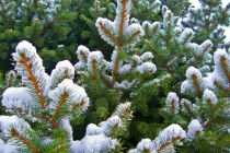
Jan 22: Weekend Winter Storm Update
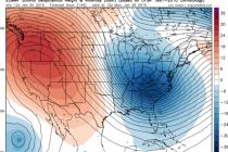
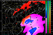
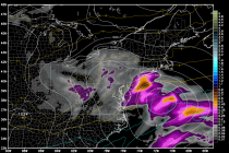
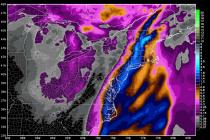
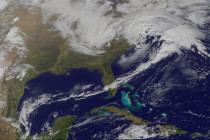
A deepening low pressure disturbance will take a classic “benchmark 40N/70W” track between tomorrow and Saturday. This will bring up a a decent amount of moisture from the Gulf of Mexico as well as throw in a lot of moisture from