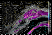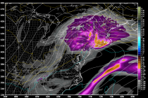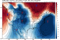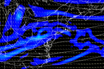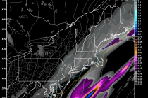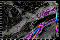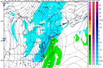
Feb 9: Watching Thursday-Friday for Snow
As today’s disturbance moves away by early Tuesday morning, it will pull down cold air behind it from the north. A clipper is modeled to move across the Great Lakes and transfer southward to a coastal low formation this Thursday-Friday.