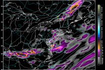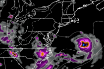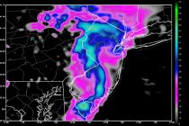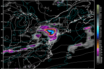
July 14: Thunderstorm Update
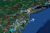
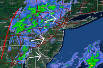
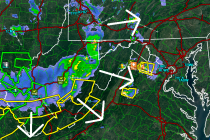
A decent amount of precipitation fell today (for most not all) with the warm front-driven showers and thunderstorms that occurred earlier. This positioned New Jersey in the warm sector of the general synoptic system currently governing the pattern. Diurnal instability