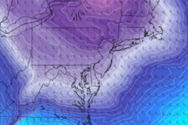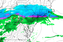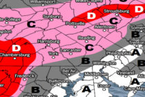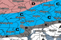
January 2020 Outlook
It’s time to harness WeatherTrends360 technology and look at how January 2020 should play out. WeatherTrends360 algorithms are documented with an 84% verification rate and are based on oceanic water cycles, time table series and very complex mathematics. The best