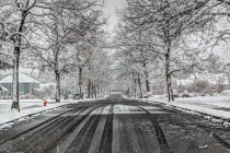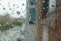
Cold Uneventful Conditions Expected (Nov 16-18)
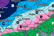
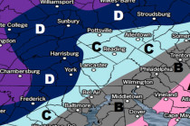
Discussion: The upper levels look very zonal through this weekend and into next week until a trough tries to slide in midweek. Zonal means calm and uneventful so that should be some good news for Thanksgiving travel. With the trough