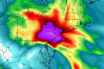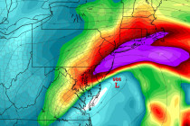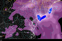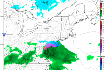
Jan 22: Coastal Storm Approaching!
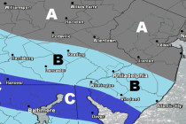
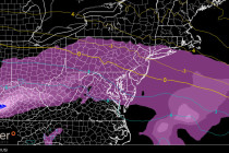
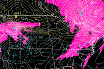
This will be the last predictive article heading into this event. All posts from this point forward will focus on live observations. We have 4 components of this system that we’re watching closely: Wintry precipitation, rain, wind and coastal flooding. Eastern