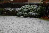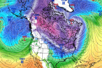
Dec 14: Snow Map for Saturday Morning
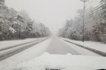
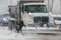
A thump of wintry-precipitation is likely this Saturday morning. Here’s our initial call… Click here to view impact map in full resolution. The theme of this event will be super cold air tonight through Friday night -> to a wintry