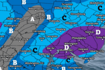
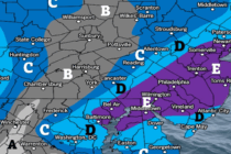
Snow Map for Tuesday Morning
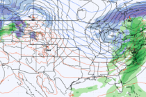
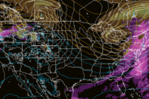
Discussion: High pressure is moving through the Mid-Atlantic US. It will push cold air downward ahead of it (tonight and tomorrow), setting up a colder environment. The high will then depart the E US into the Atlantic Ocean and draw