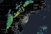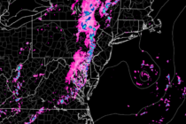
Great Start to Labor Day Weekend
Discussion: A broad area of high pressure will control New Jersey and surrounding areas this weekend. Basically a high pressure cycle. Cool and dry winds out of the N as the high approaches (now through Friday AM). Warm and tranquil