Unsettled Weekend Expected (May 13-15)
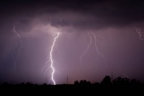
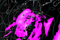
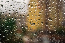
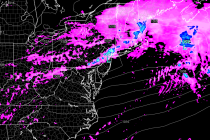
Another unsettled weekend is on tap thanks to two passing fronts. Let’s break it down: Friday (May 13 – eww!) high temperatures should reach the mid-to-upper 60s. 70 is not off the table. Rain and thunderstorms are possible, especially during