Cold Weekend Expected! (Oct 16-18)
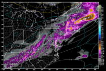
Everyone ready for some cold weather? Low pressure to our north is currently dragging a cold front through the Great Lakes which will eventually pass through New Jersey sometime tomorrow into Saturday. As expected, it looks pretty dry so only