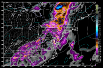
Aug 10: Widespread Rainfall Detected!
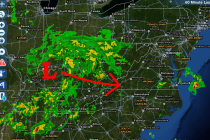
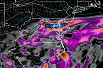
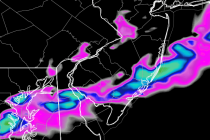
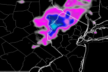
A low pressure disturbance will track through the Great Lakes/NY State region tomorrow before continuing through the rest of New England. This will help push a series of frontal boundaries through New Jersey today and tomorrow. Not much action is