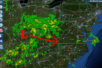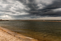
Mostly Nice Weekend Expected (Aug 7-9)
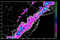
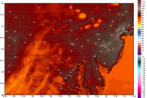
Once this pesky low pressure system slides out to sea we’ll be home free for the rest of the weekend. Let’s talk details: Friday high temperatures should reach the low to mid-80s. NNJ and most of CNJ should stay dry