Beautiful Start. Back to Reality for Weekend
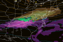
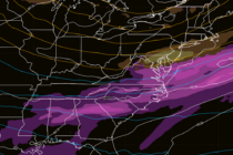
Discussion: NJ will remain extra mild through all of Tuesday and most of Wednesday. 70s away from the ocean and upper-50s along the immediate coast. On Wednesday night a cold front will push some rain through. It doesn’t look like