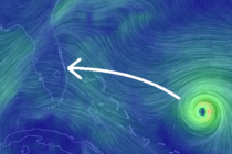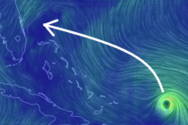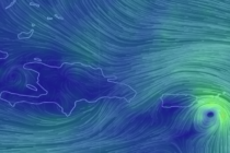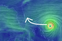
Aug 31: Major Hurricane Dorian Update
Discussion: Per the latest (11AM) National Hurricane Center update Dorian is a category 4 hurricane moving W at 8mph with a central pressure of 945mb. The slowing trend continues. If you’ve been following my updates the storm was moving 13mph