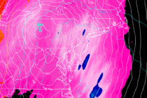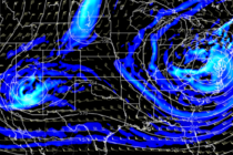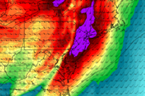
Nov 30: Tornado Watch Discussion
Discussion: The heaviest precipitation slug has passed through New Jersey from S/SW to N/NE. Some of those downpours were intense. I know because I was in one. Remaining precipitation today will be of an isolated-to-scattered nature, no longer widespread. We