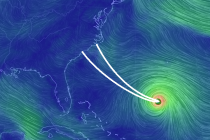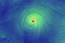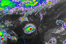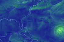
Side Effects of Florence (Sept 14-16)
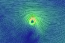
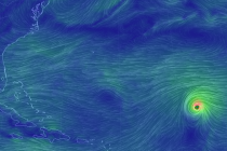
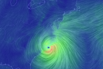
Discussion: Hurricane Florence is stuck directly under the ridge now as it crawls into coastal NC. A slow-to-depart upper-level low to the SW of Florence resulted in some weakening yesterday. That and a failed Eye Wall Replacement Cycle (EWRC). For