Heat to Break by End of Week
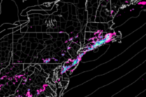
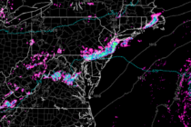
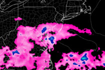
Discussion: Most of NJ is nearing 90 if not just over. Immediate ECNJ/SENJ coastal areas are ranging 70-80 with 80s just inland. Seeing some sea breeze front induced storm cells popping in coastal N Ocean County. Can probably expect this