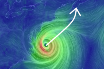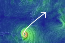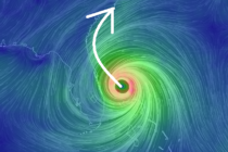
Weekend Outlook and Tropics Update
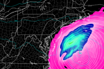
Discussion: There’s three things I’d like to talk about: Tonight: Rain and thunderstorms will continue to push southward through the rest of NJ this evening. I expect them to clear the tip of SNJ by ~10pm. There’s an area of