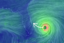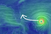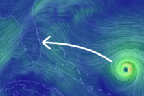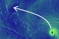
Sept 2: Dorian to Impact Entire US East Coast
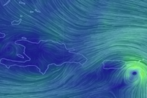
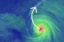
Discussion: Per the latest (8AM) National Hurricane Center update Dorian is a category 5 hurricane still moving W at 1mph with a central pressure of 916mb. Dorian hit the N part of Abaco yesterday and has stalled over Grand Bahama