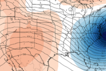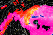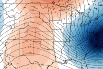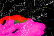
Nov 30: Wintry Storm Approaching
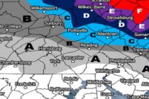
Discussion: Let’s break the 3 phases we’ve been discussing into the following timing expectations: Phase 1: Sunday Morning through Sunday afternoon. The warm front will arrive from the SW with precipitation after midnight tonight (Saturday night). I expect precip to