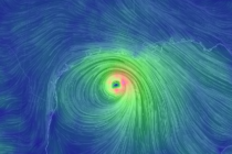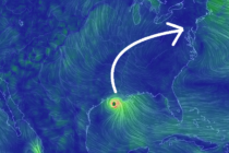
Unsettled Conditions (Aug 31-Sept 4)
Discussion: Upper-level flow will be heavily influenced by a SE US ridge between Bermuda and the mainland. The N jet should remain zonal but press against the SE US ridge’s N anti-cyclonic flow. The pattern doesn’t hint at becoming meridional