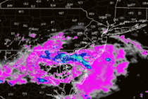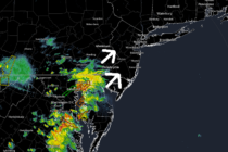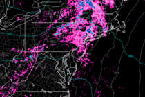
Early look at July 4th Weekend
Discussion: High pressure was overhead today (Wednesday) and will continue pushing out to sea by tomorrow night (Thursday). We’ll stay dry in this period before a hot and humid Friday into Saturday, in the warm sector leading into a frontal