Colder but Not Brutally Cold
Discussion: Not much has changed. We still have a raging jet off the Pacific into the W US which is keeping the Arctic cold, to the N, from dropping down and influencing the lower-48. Therefore, we’re stuck with air mass




Discussion: Not much has changed. We still have a raging jet off the Pacific into the W US which is keeping the Arctic cold, to the N, from dropping down and influencing the lower-48. Therefore, we’re stuck with air mass

Discussion: The well-above average temperatures should continue this week as warm air continues to pump into the W US off the extremely zonal Pacific jet. This has been warming the entire US and inhibiting Arctic air from spilling down into

Discussion: I’d like to wrap up 2022 here at Weather NJ by wishing everyone a Happy New Year and discussing some future ideas for our weather pattern! Another trip around the sun in Jersey! We started the year in January
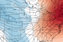
Discussion: I’m seeing a lot of ridging (see above image) building over the NE US for the next few weeks. This spells a warm pattern that could carry through the first third to half of January 2023. At the lower

Discussion: First and foremost, a Merry Christmas from our family to yours. If you celebrate something else, then happy that! And if you celebrate nothing at all, then I hope you had a great solstice and kick-off to winter. I
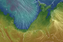
Discussion: Well, it’s pretty much go time for this much-anticipated strong storm and its New Jersey impacts. Precipitation has moved in and with the exception of the highest NWNJ elevations, has become rain for most/all of New Jersey. The Arctic
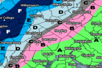
Discussion: Right now (today – Wednesday) we have positive height anomalies overhead of the US east coast. This is because the SE Atlantic Ridge was allowed to build for the E US due to the upstream +PNA ridge being a
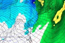
Discussion: The expected storm system for this Thursday-Friday might not satisfy the snow lover with deep accumulations. But there are some powerful dynamics involved which could still produce hazardous conditions for holiday travel. Again, we’re chilly but not too cold

Discussion: I wanted to give it through 00Z model data tonight, at least to the GFS run, to confirm the trend that has occurred this weekend and what it means for the December 22-24 storm signal. It’s bad news for

Discussion: The current system is pulling away to the NE. Behind it, we’re left with colder and drier W/NW flow at the surface (NW flow aloft). The temp and dew point should peel away from each other with a significantly

LOCAL FORECAST | INTERACTIVE RADAR | LATEST NJ WEATHER ALERTS | WEDDING FORECAST| PRIVACY POLICY
© Copyright 2026 Weather NJ LLC. All Rights Reserved.
Some information that can be found on our website is provided by a private weather station and is not an officially recognized station for weather reporting. Though we always strive to achieve accurate reporting for our own use, it is important that you do NOT depend on the data provided here for any purpose.


