Back to homepage

Latest NJ Weather Alerts

Winter Reloads (Jan 21-25)

Winter Reloads (Jan 21-25)

🕔19:38, 20.Jan 2019

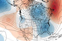
Discussion: Temperatures will continue to drop overnight tonight until about sunrise tomorrow morning. Most of the state should range from single-digits to teens NNJ to SNJ but no reason why NNJ elevations can’t drop below zero. The gusty winds will
Read Full Article▸
Jan 19: Ice Storm Targets NNJ

Jan 19: Ice Storm Targets NNJ

🕔12:56, 19.Jan 2019

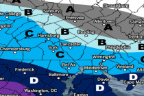
For full-resolution snow map please click here! For full-resolution ice map please click here! For full-resolution rain map please click here! Discussion: One final update on the forecast and then we’re ready to begin live observations. The storm is approaching from

Read Full Article▸
Jan 18: Snow Ice and Rain Storm Approaching

Jan 18: Snow Ice and Rain Storm Approaching Updated

🕔16:45, 18.Jan 2019

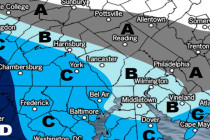
For full-resolution snow map please click here! For full-resolution ice map please click here! For full-resolution rain map please click here! Discussion: This storm system is very complex both in mesoscale components and change over duration of the event. It is

Read Full Article▸
Jan 17: Weekend Winter Storm Update

Jan 17: Weekend Winter Storm Update Updated

🕔16:45, 17.Jan 2019

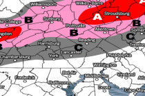
For full-resolution snow map please click here! For full-resolution ice map please click here! For full-resolution rain map please click here! Discussion: The above winter storm impact maps are fairly self-explanatory. As far as pure snow goes only NJ areas N

Read Full Article▸
Jan 16: Winter Weather Update

Jan 16: Winter Weather Update

🕔17:16, 16.Jan 2019

Discussion: Just like this past weekend for SNJ, this first system is not that big of a deal. However, it doesn’t take much to present safety hazards especially when the morning rush hour commute is affected. The first system should start

Read Full Article▸
Jan 15: Snow Map for System One

Jan 15: Snow Map for System One

🕔16:23, 15.Jan 2019

Discussion: My main focus right now is on the first Thursday night-Friday morning system. This is an overall weak system that came onshore yesterday off the Pacific Ocean (onto California). From now until Thursday it should track from W to E

Read Full Article▸
Jan 14: The Tale of Two Systems

Jan 14: The Tale of Two Systems

🕔20:19, 14.Jan 2019

Discussion: While most of the focus is on the bigger weekend potential, we cannot drop our guard for a sneaky wave Thursday night into Friday morning. Energy is just coming off the Pacific Ocean onto California for this first system. The

Read Full Article▸
The Next Winter Storm Signal

The Next Winter Storm Signal

🕔14:16, 13.Jan 2019

Discussion: We have a lot to talk about. First, a final update and quick recap of this weekend’s winter storm. A few final bands of snow are still moving out of SNJ but have 1-2 hours left of impact. I expect

Read Full Article▸
Jan 11: Updated Weekend Snow Map

Jan 11: Updated Weekend Snow Map

🕔16:54, 11.Jan 2019

Discussion: Dynamics are leaning towards the heavier wildcard from yesterday’s discussion. It’s still not looking like a shut-down snow storm but it could mean a plowable event for a larger part of SNJ. We’re dealing with a fairly weak, but strong-enough,

Read Full Article▸
Jan 10: Light Snow Event Expected

Jan 10: Light Snow Event Expected

🕔17:50, 10.Jan 2019

Discussion: Low pressure will track across the SE US and eject into the Atlantic Ocean over OBX. From there it is not expected to turn up the coast and produce a major snow storm. Instead it will likely remain on

Read Full Article▸