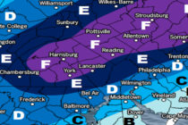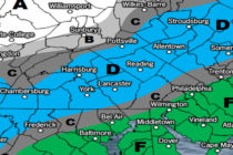
Dec 14: Winter Storm Developing
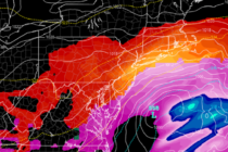
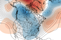
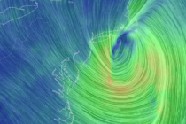
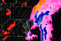
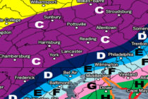
Discussion: Today’s weaker event is now ending and we can focus exclusively on the higher-impacts of the Wednesday-Thursday system. Not much has changed in the model guidance. We have a surface low tracking in over the coastal Carolinas and wanting