Another Buildup and Reset
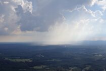
Discussion: The upper levels suggest a zonal flow this week with height anomalies leaning slightly negative for NJ. At the surface this should produce another beautiful day (like Monday – today) for Tuesday but then unsettled humidity Wed-Fri. Wednesday seems