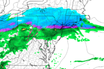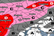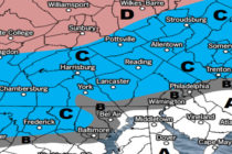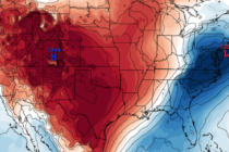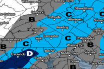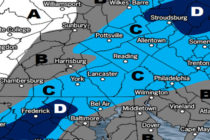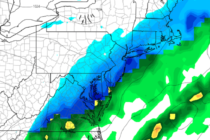
Dec 18: Cold Air Arrives
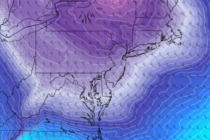
Discussion: The upper-level jet and a closed-off upper-level low will swing through the extreme NE US between now (Wednesday) and Friday. This should result in cold NW winds at the surface for all of New Jersey in that same time