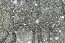
Higher Winds Approaching
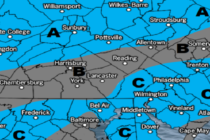
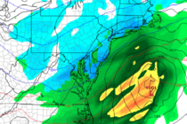
Discussion: I’m seeing a lot of speculation and fear about the frontal system expected for New Jersey later this evening. Yes, it’s true that this frontal system was part of the tornadic outbreak in the South-Central US last night. But