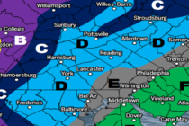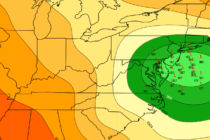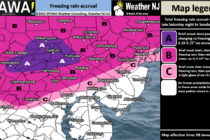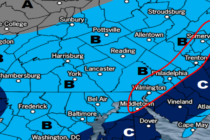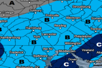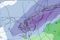
Strong New Jersey Storm Expected
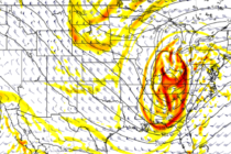
Discussion: This upcoming Sunday PM-Monday AM event is not a pure snowstorm. It will contain some wintry aspects to it (upfront snow…possibly ending as snow for some) but the meat and potatoes of it are a strong synoptic-scale rain and