Dec 24: Wind Event Approaching
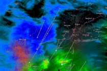
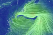
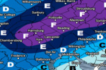
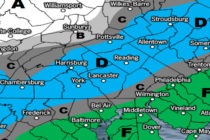
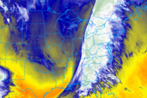
Discussion: Nothing has changed since Tuesday’s article regarding the physics of tonight. We have a deep trough swinging negative with a raging 250mb S jet passing over NJ. To our W, we’re expecting closed-off lows in the mid-to-upper levels (700-500mb)